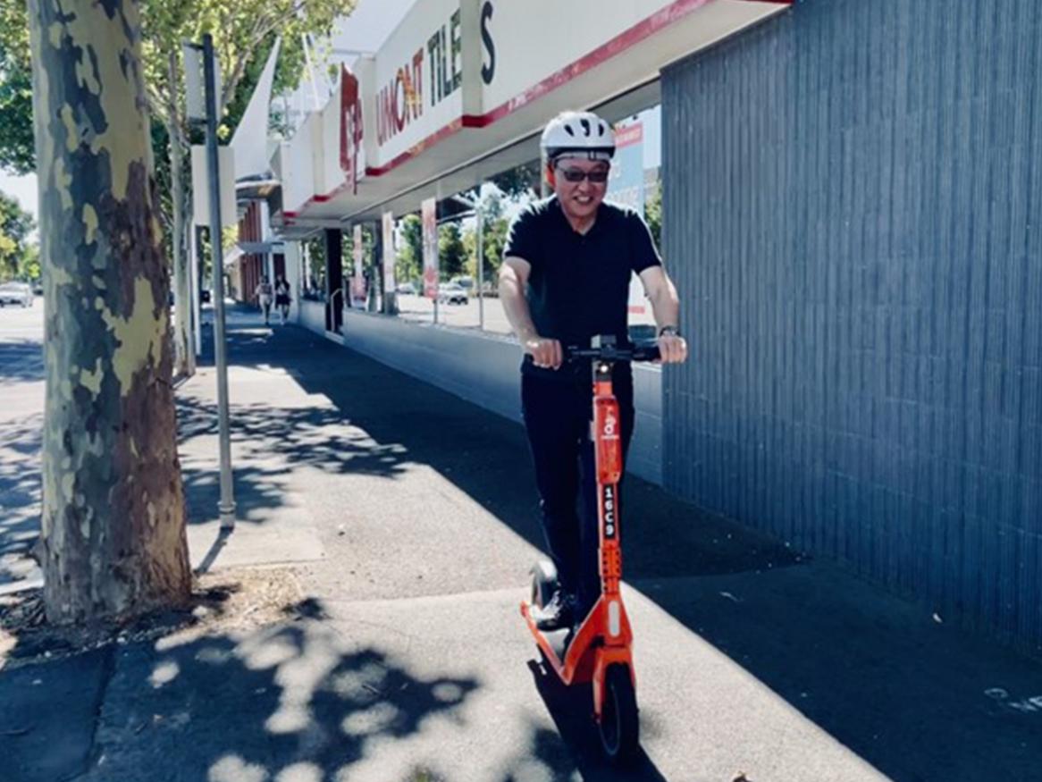
3D lane markings for road safety

3D lane marking trial location at Christies Beach

3D lane markings on Beach Road, Christies Beach

CASR is undertaking a groundbreaking trial of 3D lane markings to improve road safety. A novel design of 3D-looking lane markings is being trialled at selected sites around the Adelaide metropolitan area. This 3D marking design aims at inducing motorists to become aware of a change in the road environment while they are transitioning into a low-speed area (speed limit of 40 km/h) with high pedestrian activity.

This trial aligns with the South Australia’s Road Safety Strategy, in particular the need to conduct research and innovate in road safety to develop countermeasures that are relevant in a local context.


The trial is funded by the Australian Government through the Department of Infrastructure, Transport, Regional Development, Communications and the Arts.
In kind support is also received from the South Australian Department for Infrastructure and Transport (DIT).

The challenge – Vulnerable road user safety

The Movement & Place approach in road safety focuses on the main concept that the road design should clearly reflect its predominant and desired use – either movement of people and goods, or placing making activities located alongside a road.

Under a placemaking objective, the road purpose shifts from being a traditional conduit for traffic flow to becoming a ‘destination’. Therefore, the main priority is creating a safe and forgiving environment for Vulnerable Road Users (VRUs) by calming motor vehicle traffic and reducing their travel speed. Implementation of low-speed zones is a common practice to improve safety of VRUs when defining placemaking areas, with speed limits often being reduced to as low as 30 km/h.

Nonetheless, low-speed limit zones may not be always promptly identified by motorists, resulting in traffic speeds to be higher than what desired.

3D lane marking trial location on Prospect Road

3D lane markings on Prospect Road in Prospect

The innovation - 3D-looking ‘dragon teeth’

The trialled lane markings are a 3D-looking variation of the so called ‘dragon teeth’. The markings comprise a series of simple triangle shapes located alongside both sides of the travel lane leading into the 40 km/h section. The triangles appear to be slightly floating over the road surface through a perceptual visual illusion.

The whole idea is to use this 3D perception to attract motorists’ attention and provide an effective visual ‘heads-up’ of an incumbent change in the road environment ahead.

Similar 3D markings have been successfully implemented in Singapore, particularly at boulevard-style entries to 30 km/h zones frequented by a large number of pedestrians — especially older people and children. A broader variation of other 3D markings are also used worldwide for speed mitigation or to convey warning messages.

Expected benefits

This proposed design of 3D lane markings is expected to be well suited to complement and enhance the safety benefits of lower speed zones in areas with a high risk to VRUs through a dual approach.

Image of 3D lane markings trial at Seaview Road

3D lane markings on Seaview Road in Henley Beach

  • Traffic calming – The perceptual 3D marking is expected to induce a reduction in the travel speed of approaching vehicles through creation of a combined effect of channelisation and lateral friction.
  • Improve awareness – The perceptual 3D marking is also expected to improve awareness of lower speed zone areas as well as improve speed compliance. This marking is perceived as three dimensional by motorists while they approach the entry to a reduced speed limit zone, therefore helping them to clearly identify that they are entering an area of the road network where the ‘placing’ roles of the road (i.e., pedestrian movements around business and social venues) becomes a priority over motorised vehicle movement.

Trial evaluation – Measure potential traffic calming effect

These novel 3D markings are being trialled at four sites around the Adelaide metropolitan area. The trial will take place between Jan and Oct 2025.

The evaluation of the proposed markings will be based on the analysis of vehicle travel speeds. Speeds will be measured at each of the trial sites before as well as after the installation of the markings. Any changes in vehicle travel speed after the treatment installation will inform whether this treatment may induce a traffic calming effect. The potential effect of other factors, such as weather conditions, will be controlled and isolated during this evaluation.

During portions of the trial period vehicle speed will be measured at different locations - on the approach to the markings, immediately downstream of the markings, and in the mid-block of the 40km/h speed segment.

Image of 3D lane markings trial at Magill Road (looking like dragon teeth)

3D lane markings on Magill Road in Magill

The markings installation is being conducted in collaboration with the Department for Infrastructure and Transport (DIT). They are currently planned to remain installed after this trial will end.

Trial results

This trial is currently ongoing.

Check back for updates on the trial results.

For any questions or feedback, please contact the project manager: Mario Mongiardini