Environmental monitoring with drones: Koalas
Using drones to study koalas.

Assessing wildlife population density, abundance and distribution is needed to establish adequate conservation programs.
Drones and infrared technology are increasingly being used but to estimate wild animals population size, but several questions still need to be elucidated regarding the use of drones to study koalas’ populations.
- Are drones and infrared imaging more reliable to assess koalas’ density than traditional animal population monitoring techniques on the ground?
- How does habitat complexity and koalas’ density affect the cost effectiveness and reliability of this new tool?
- What is the best survey design?
- What are the limits of detection at different speeds?
In this honours project, you will expand on the research published in Nature Journal Scientific reports in 2019 titled 'Automated detection of koalas using low-level aerial surveillance and machine learning'.
You will be taught to fly drones and capture and process imagery.
This project is a collaboration between researchers in the Unmanned Research Aircraft Facility (URAF), School of Biological Sciences and School of Animal and Veterinary Sciences.
Desirable attributes
- An interest in wildlife conservation and research
- An appetite to spend extended hours in the field
- Proficient computer skills
- Some abilities in statistical analyses, preferably in R
- GIS capabilities
- Visualise data, create data, create maps
- Extra points for abilities in python
- A driver’s licence
- 100% commitment to publish the results
Supervisors
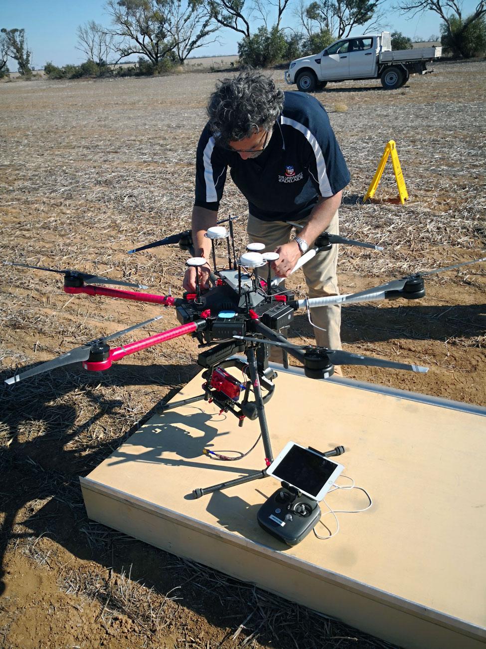
- Dr Ramesh Raja Segaran (pictured above)
Co-supervisors
Research area
- Wildlife population dynamics
Recommended honours enrolment
