Environmental monitoring: What is the extent of canopy dieback in a refugial forest?
Ecosystem surveillance scientists are seeking honours research students to use satellite imagery and on-ground monitoring data to map the extent of tree dieback to develop predictions and policy recommendations.

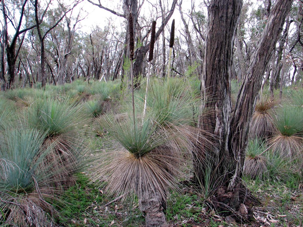
Red Stringybark (Eucalyptus macrorhyncha)
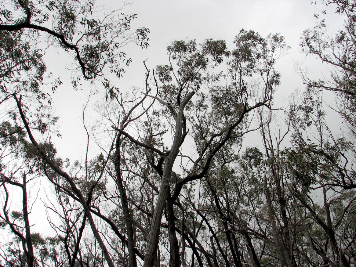
Although widespread in south-eastern Australia, the Red Stringybark (Eucalyptus macrorhyncha) is restricted within South Australia to a small portion of the Clare Valley. This unique forest in under threat from canopy dieback that may be related to climate factors such as drought and heat waves.
For this project, you will undertake hands-on field monitoring combined with assessment of high-resolution satellite imagery to map canopy dieback and tree death in E. macrorhyncha in space and time.
The monitoring will add significantly to our understanding of the extent of the dieback in terms of area of forest, proportion of trees and proportion of canopy affected, as well as propensity for regrowth.

The impact on the diverse understorey flora will also be assessed by measuring solar irradiance relative to different levels of dieback.
You will use historical satellite imagery and on-ground monitoring data from established sites to assess dieback and recovery over time and relate these changes to seasonal climate and differences in terrain and vegetation parameters in order to develop predictions and policy recommendations.
This project is based within Australia’s national terrestrial ecosystem surveillance monitoring facility.

Supervisor
Research area:
School of Biological Sciences, TERN / Environmental Monitoring Group
Recommended honours enrolment:
Honours in Ecology and Environmental Science
