Nanosatellites and drone geophysics: new technologies for Earth, Moon and Mars
Be part of the exciting space exploration program, connecting remote networks of geophysical sensors to satellites.
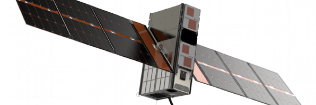
Fleet Space Technologies’ Centauri nanosatellite
Geomagnetic depth sounding (GDS) is a geophysical technique that maps the anomalous vertical magnetic variational fields.
Unlike the magnetotelluric (MT) method that requires long pairs of grounded electric dipoles, the GDS method simply requires a three-component magnetic sensor and data acquisition system that does not need to be attached to the ground.
We propose to develop a research program to use drones for remote deployment of GDS sensors.
The vision is to have a swarm of drones from a field base to a number of locations, recording for a few days to weeks before being recalled and fly back with the sensors. Real-time remote data transfer could be undertaken using Fleet Space Technologies LoRaWAN™ Gateway and satellite modem.
Real-time data analytics would provide information as to how long GDS sensors should be deployed for, and to evolve survey logistics with time.
The project would involve (a) building a lightweight three-component fluxgate magnetometer with mass of less than 1 kg and size smaller than a shoebox; (b) collecting field data to test out the logistics of deployment; (c) developing the technology for remote data analysis; and (d) investigating the potential to deploy autonomously.

Supervisors
Dr Graham Heinson and Matthew Pearson
Research area: Mineral and energy systems, Tectonics and solid earth processes
Recommended honours enrolment: Honours in Geology