News: Honours projects - Soil science
Effect of micronutrients on the growth of wheat in sodic soils
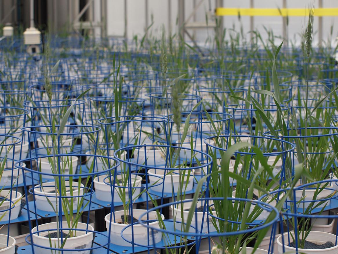
Honours project: Examine how micronutrient interactions alter the growth and ion concentrations of wheat in sodic soils
[Read more about Effect of micronutrients on the growth of wheat in sodic soils]
Shoots or roots - which controls plant-fungal interactions?
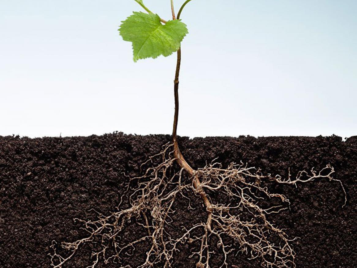
Honours project: Investigate the origin of signals affecting colonisation of plant roots by arbuscular mycorrhizal fungi.
[Read more about Shoots or roots - which controls plant-fungal interactions? ]
Using remote sensing to measure the variation in suspended sediment in Gulf St. Vincent
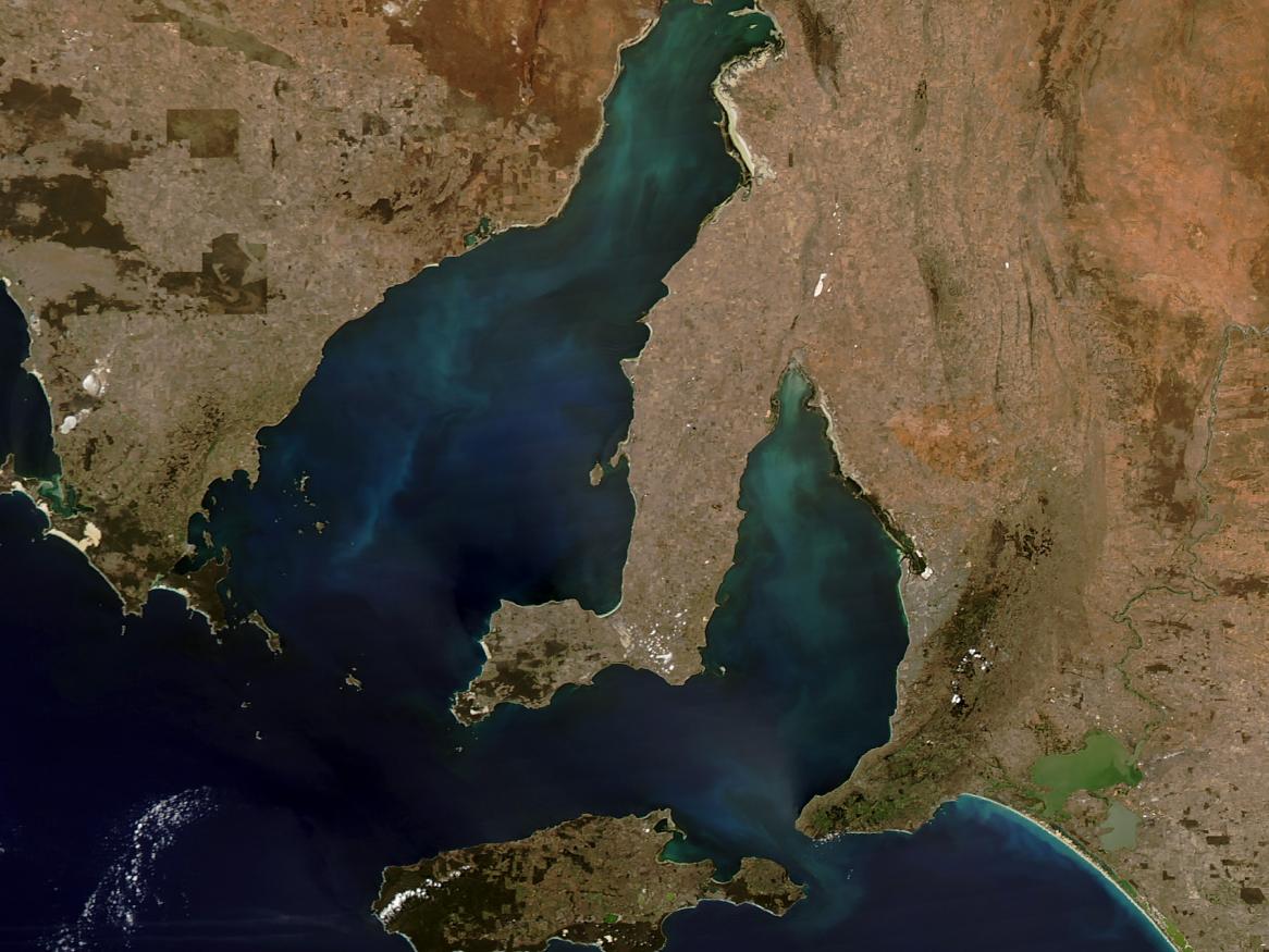
Honours project: Use remote sensing project to characterise historical variation in suspended sediment in Gulf St. Vincent.
Developing usable rangeland condition assessment tools
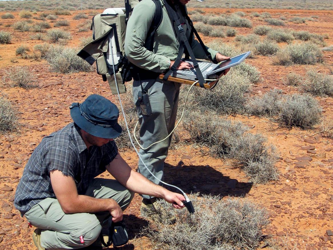
Honours project: Develop usable rangeland condition assessment tools in the area of remote sensing.
[Read more about Developing usable rangeland condition assessment tools]
Measurement & characterisation of arid wetland vegetation dynamics
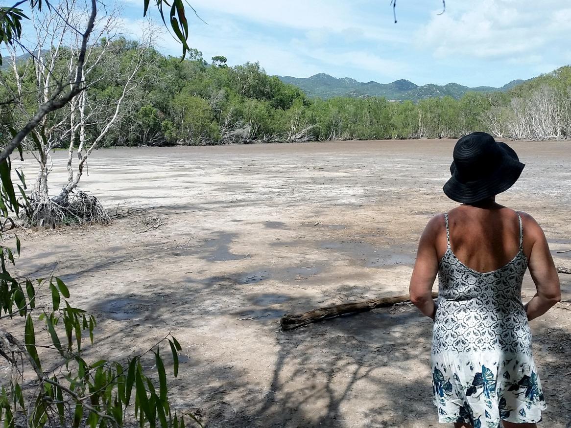
Honours project: Explore the dynamics of arid wetland vegetation.
[Read more about Measurement & characterisation of arid wetland vegetation dynamics]
Characterisation of river plume extent through remote sensing with high/moderate resolution satellite imagery
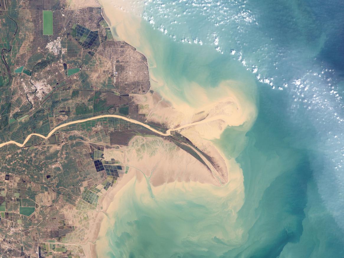
Honours project: Use satellite imagery to examine the extent of river plume in some of the world's most significant rivers.