News: Honours projects - Bertram Ostendorf
Spatial information, environmental remote sensing & GIS
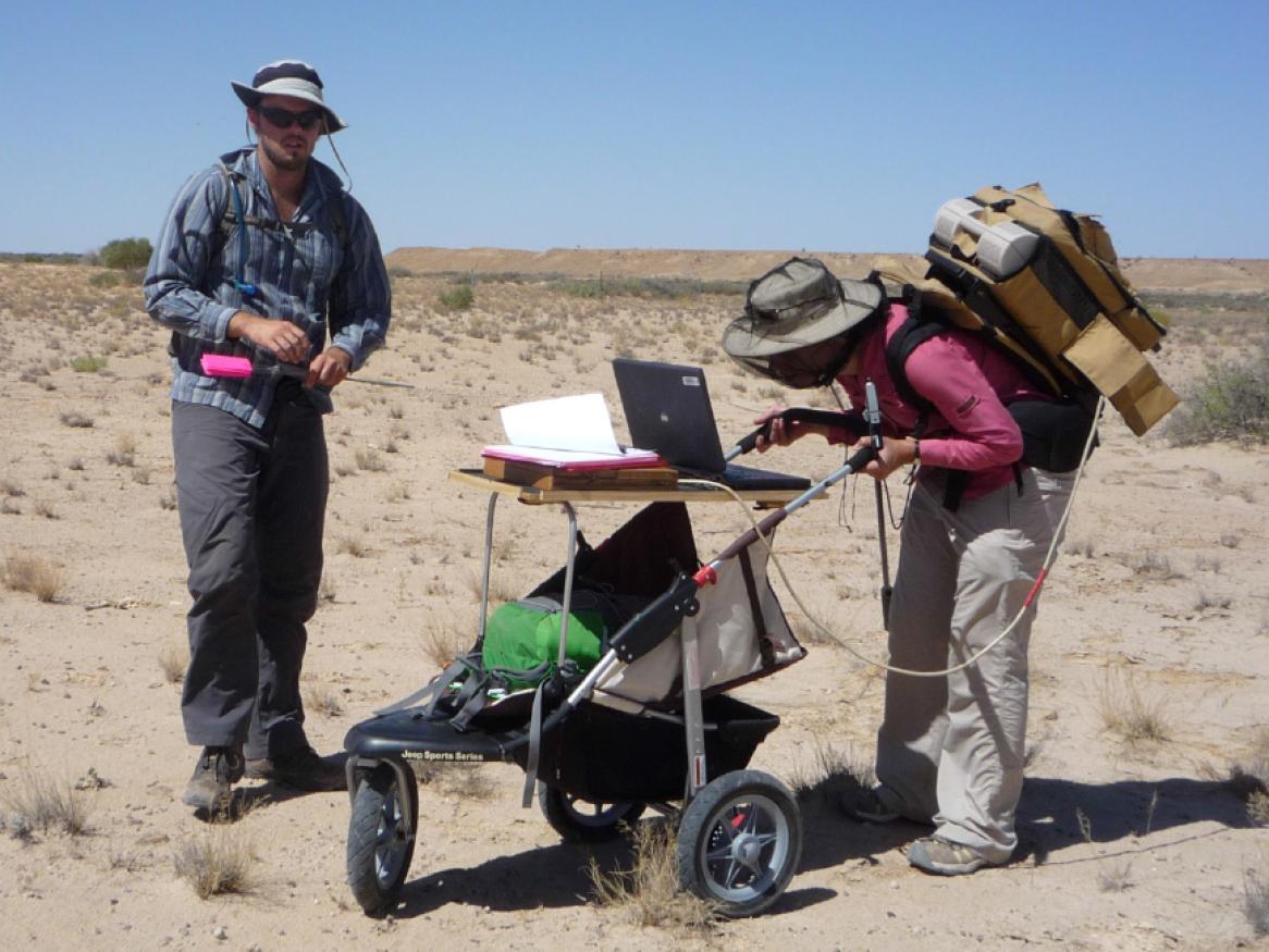
Honours project: Use spatial information tools and data in a wide range of applications and settings, including terrestrial, wetland and marine ecology, wildlife and habitats, land assessment and management and earth science.
[Read more about Spatial information, environmental remote sensing & GIS]